An interesting addition to my collection was this beautiful 1925-1930 globe made by the French globemaker G. Thomas. Dating the globe relies on the appearance of three toponyms together: Leningrad, Oslo, and Constantinople. St. Petersburg became Leningrad in 1924, Christiania became Oslo in 1925, and Istanbul did not replace Constantinople in international use until 1930.
The globe also features France’s colonial empire in its final decades. Most of western Africa, from Gabon and Cameroon, to Chad, Algeria, and Senegal are marked as “Afrique Occidentale Francaise.” In Southeast Asia, Vietnam, Laos, and Cambodia are all shown as the unified French colony of “Indochine.”
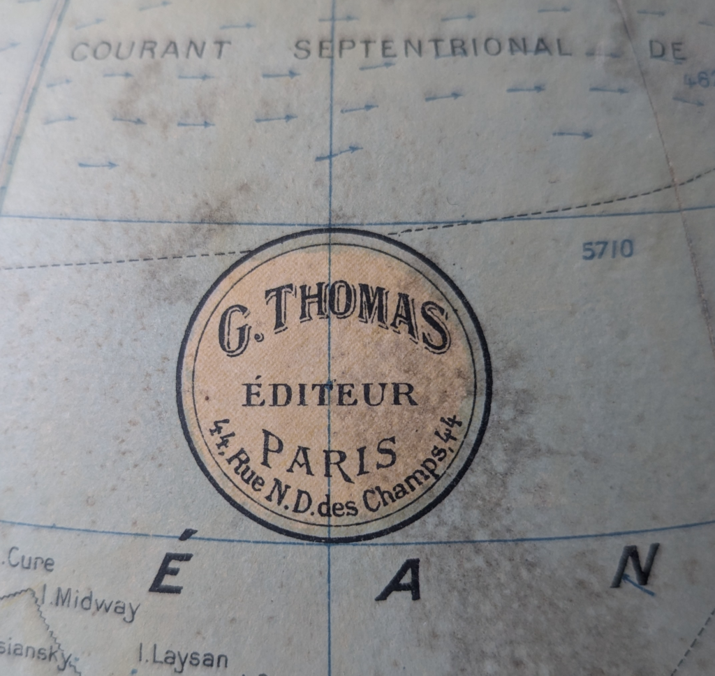
The globe sits on a two-piece turned wooden base, with a brass meridian. The sphere of the globe is roughly 30-35cm, putting it on a scale of 1:40,000,000. The design is an interesting mix of modern and classical, with a cartouche that looks like it comes from the nineteenth century but using sans serif typefaces in many places, such as the legend. In 1925, the globemakers of G. Thomas operated out of 44 Rue Notre Dame des Champs in the 3rd Arrondissement, the Haut Marais. Paris had just hosted the 1925 Exposition Internationale, a key moment in modern art that launched the Art Deco movement.
One unique feature of this globe is the analemma. These cartographic devices, best suited to globes, track where the sun is directly overhead at noon for every day of the year, accounting for the Earth spinning on an angled axis and traveling around the sun in an elliptical orbit. The analemma has three hatched scales: the figure-eight calendar track, a detailed latitude scale, and a small horizontal scale.
The figure-eight charts the movement of the sun through solstices and equinoxes. At the winter solstice in December, the sun is directly overhead at the Tropic of Capricorn (23.5∘ S). At the summer solstice in June, it reaches the Tropic of Cancer (23.5∘ N). The central point of the figure-eight, where the paths cross, represents the equinoxes. Running vertically through the center, the latitude scale provides a precise reading of the sun’s declination (its angular distance north or south of the equator). The short horizontal scale measures the “Equation of Time”—the difference between “clock time” (Mean Solar Time) and “sundial time” (Apparent Solar Time). This is why the figure-eight has width; because the Earth changes speeds in its elliptical orbit, the sun can be “fast” or “slow” relative to local apparent noon.
Globe and map makers also find analemmas to be a very convenient decorative device to place over the Pacific Ocean. Matthew Edney has written on his blog about the history of analemmas and some unusual forms.
The story of this particular globe is also unusual. I noticed it in a rental home on a family vacation, disused on a high bookshelf. The brass meridian had separated at one end and it was dusty, but the globe and base were otherwise in good shape. As it happened, the owner lived next door and was not one for history or geography. On the last night of our vacation I asked if he might be willing to part with it and he said he knew nothing about the globe or where it had come from, not did he have any special attachment to it. He let me name my price. I had not planned to have enough room in my suitcase for a large globe, but I was able to safely separate the globe from the meridian and unscrew the wooden base. The pieces went into my suitcase and the globe itself I wrapped in a blanket, tied up with a cord and made it my carry-on. My family poked some fun at me for looking like I was carrying a very fat baby through the terminal, and I was worried that security would raise issues with the brass rod through the center, but all went well, it fit nicely in the overhead bin, and I got it home in good shape to start some restoration.