Redway is still a bit of a puzzle to me. As I mentioned in my earlier post on him, he was the author of Butler’s Complete Geography. The Library of Congress lists dozens history and geography textbooks by Jacques Wardlaw Redway (1849-1942), published from the late 1880s into the 1920s. There is no entry for him on Wikipedia and basic internet searches mostly just turn up references to his books.
The copy of Butler’s Complete Geography in my personal collection has a stated copyright of 1887, but was probably revised and printed in the early 1890s, based on references in the text to historic events in 1889. There is no reference the 1893 World’s Fair in a brief section on Chicago, nor is there any reference to the Spanish-American War, which so-changed American geography that it is a major watershed for dating textbooks.
The introduction to the textbook signed by Redway credits Mr. W.H. Holmes for drawing the maps themselves, though the article mentioned in the short NYT piece mentioned earlier makes clear that Redway did have a sophisticated technical understanding of mapmaking.
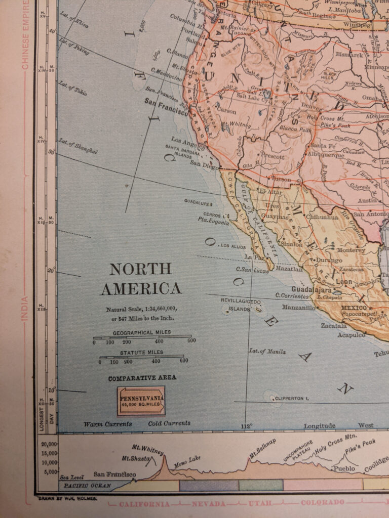
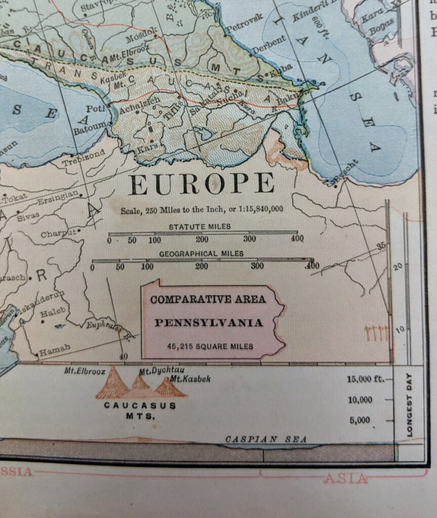
I have been very interested in how Redway uses some, but not all, of the marginal symbology techniques I have written about in the context of James Monteith. Redway includes bars to show comparative extent of regions, terrain cross sections in the bottom margin, and comparative area symbols. I actually like Redway’s cross sections for the way they show a little more depth and texture than some others from the period. Redway was also an early adopter of the technique of using state outlines as comparative area symbols. While Monteith started using Kansas in the 1870s as a standard symbol, Redway (who was from Philadelphia) always used Pennsylvania as the comparative symbol.