James Monteith published many of these “balloon views” of continents in his late nineteenth-century geography textbooks. This is an oblique view with exaggerated terrain that is neither a topographic map, nor a cross section (another technique that Monteith used regularly. In many ways, views like this are reminiscent of the angled “birds-eye” view of cities that were so popular in this period, but looking at a large piece of the globe from an oblique angle like this seems to anticipate Richard Edes Harrison in some ways. Harrison’s purposes were strategic and commercial, whereas Monteith’s were education and giving the student or general reader a sense of what a remote land was like.
Posted inGeography Textbooks
Balloon View of a Continent
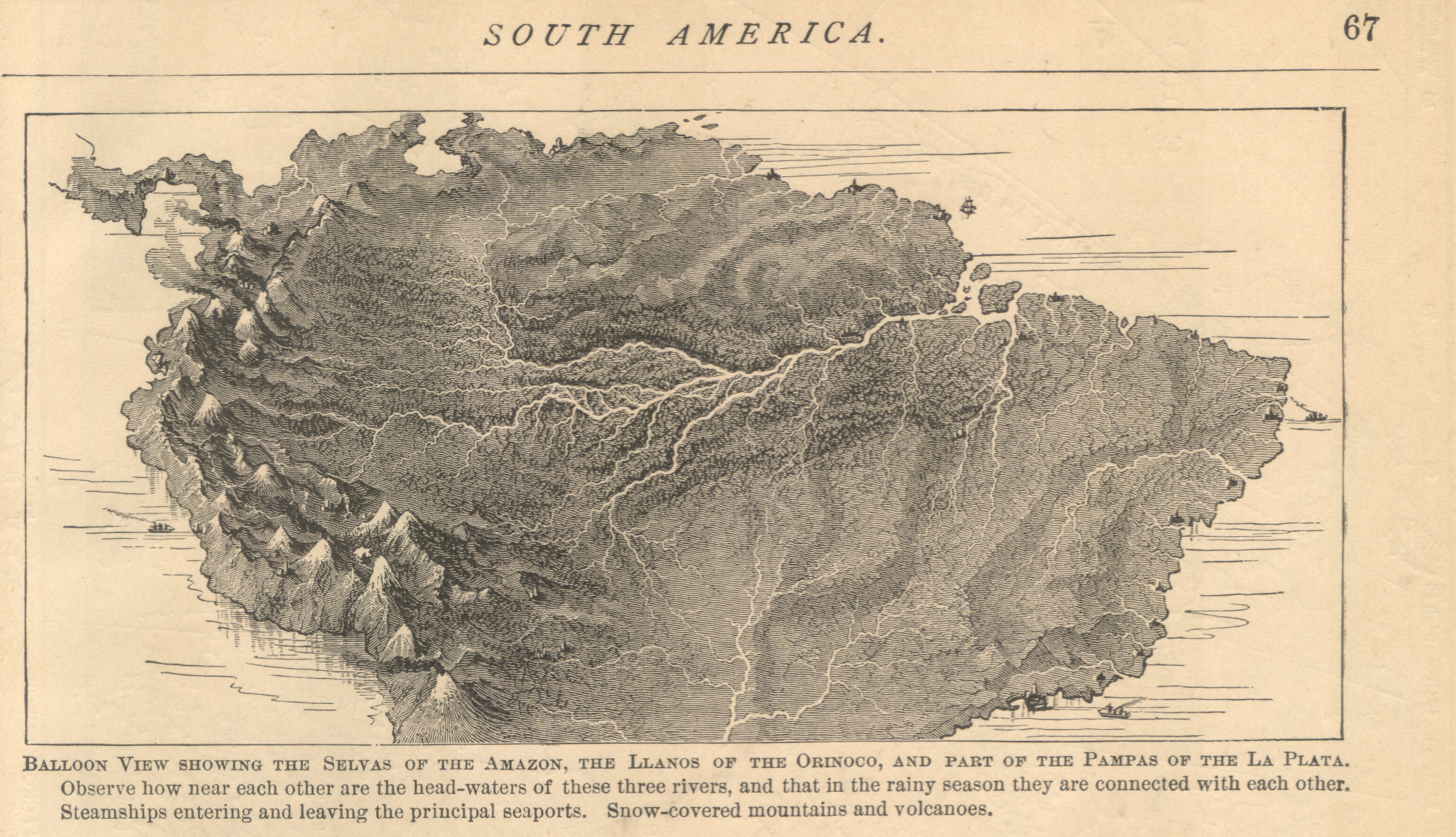
Balloon View of South America