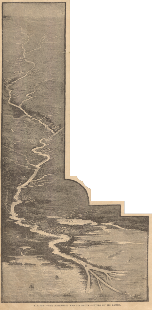
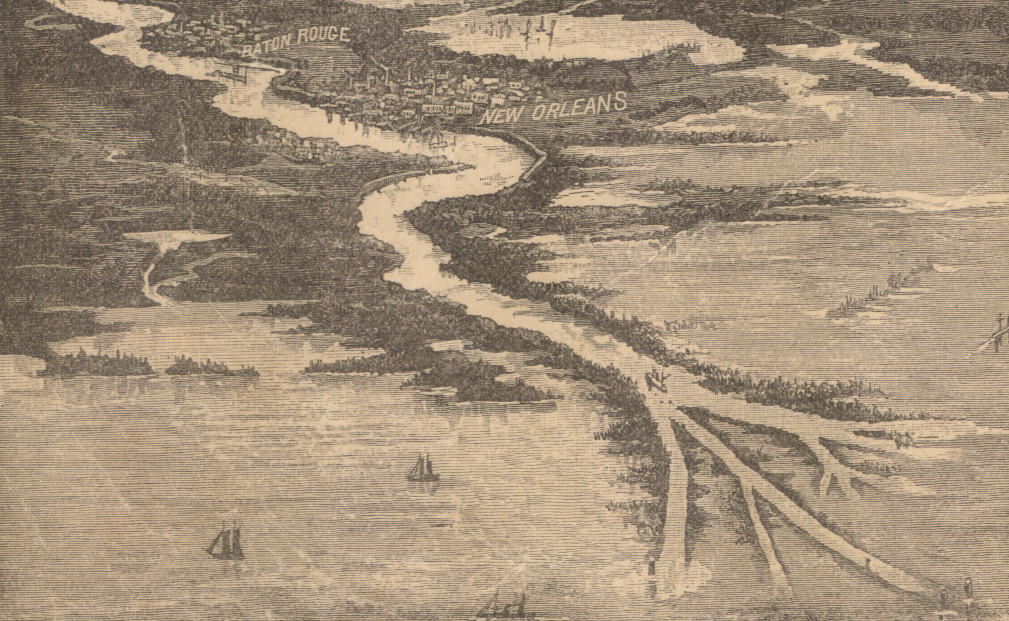
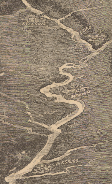
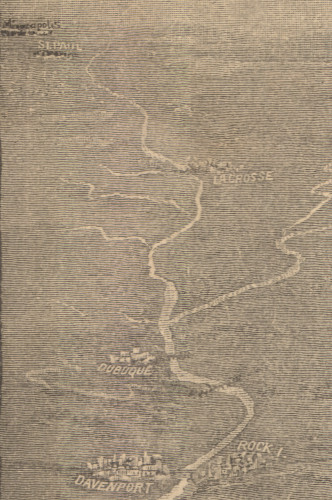
Although I have called James Monteith the “Master of the Margins,” one of the other things I find unique and innovative about Monteith is his perspective illustrations of large geographic extents. I have talked elsewhere about his transcontinental views that show the terrain of thousands of miles across 17 inches of paper, his “balloon views“, and his cross sections of lake and river systems. This 1885 view of the Mississippi River is related to all of these, but accomplishes a combination view of the economic lifeline of late-nineteenth century America.
The combination of charting a very long river’s course with details on the cities along its banks is an example of what Edward Tufte calls a “micro/macro design” with multiple readings. There is also something of the cartogram in this illustration, depicting the stations along the transportation corridor while also depicting the industry and geographic relationships among the river cities. Published twenty years after the Civil War, some places that have since faded from national prominence–like Vicksburg and Cairo–would have been well known for their geographic importance. This illustration manages to depict the faint headwaters, the multiple channels of the delta, and the major crossings all in one image.