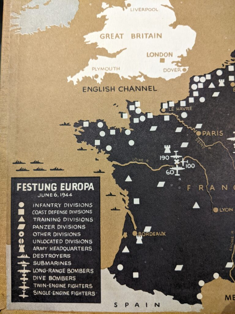
I am trying to learn more about the mapmaking career of the artist and illustrator Rafael Palacios. I first came across Palacios’ maps in a copy of Cornelius Ryan’s A Bridge Too Far. I initially suspected that the maps might have been made by Richard Edes Harrison because the hand-drawn style seemed similar to Harrison, who made the maps for Ryan’s earlier book, The Longest Day. However, I noticed that Palacios signed his maps and is explicitly credited by Ryan. A few quick searches showed that Palacios was prolific in making maps for many other history books: most prominently for Eisenhower’s 1948 book Crusade in Europe.
But what is the story of Palacios, who, besides making maps for history books, was also a painter from Puerto Rico? There are some references to him in histories of Puerto Rican artists and he was once married to Ines Mendoza, who later became one of the most prominent citizens of Puerto Rico as the wife of governor Luis Munoz Marin. I have found some references to Palacios’ paintings in records at the University of Puerto Rico, as well as passing references to exhibitions of his work in New York, but I cannot find any online collections of his work. I assume that his remaining paintings are held in an archive somewhere in Puerto Rico.
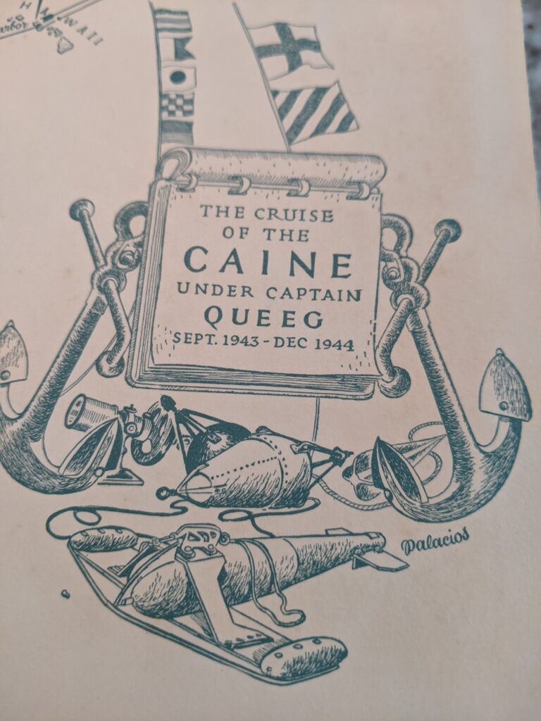
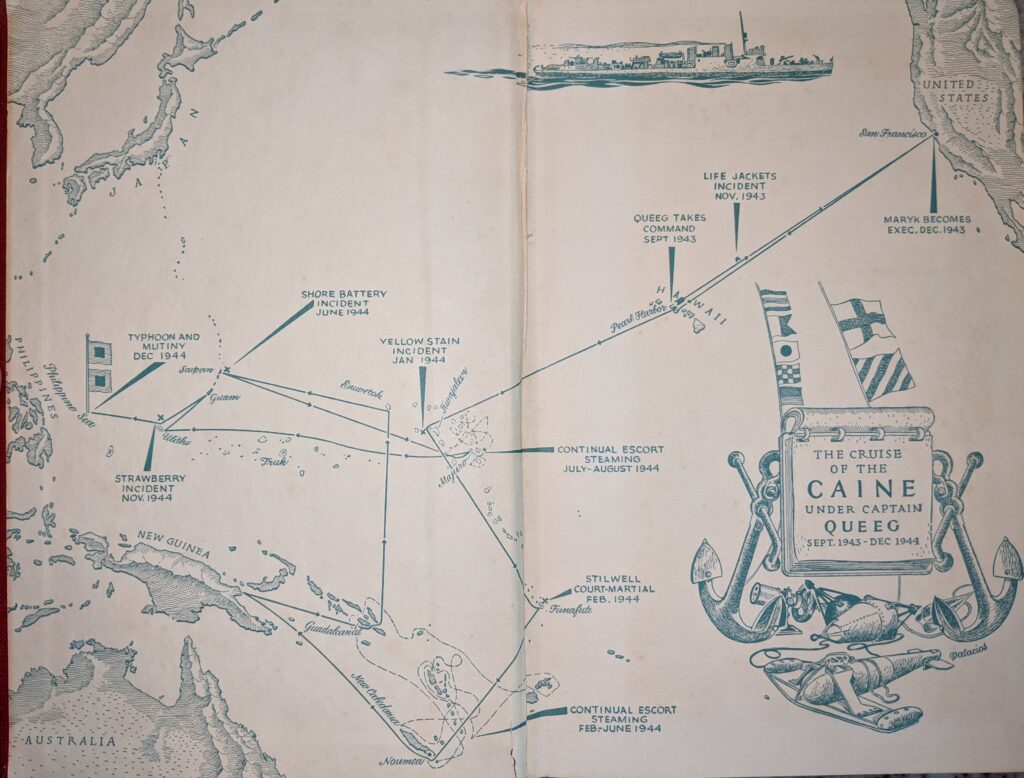
How did Palacios go from being an artist in Puerto Rico to become the mapmaker for Dwight Eisenhower, who was already a national hero and was soon to become President of the United States? Palacios made maps for many other books, many published by Doubleday, like the Eisenhower book. One of the most famous was probably the endpapers map for Herman Wouk’s The Caine Mutiny. Palacios also created hundreds of small reference maps for Isaac Asimov’s Guide to the Bible and Guide to Shakespeare, and he made some very compelling but simple maps for Bruce Catton’s Civil War histories.
I also wondered if maybe Palacios had been among the wartime mapmakers who worked with Harrison on projects like the War Atlas for Americans. Palacios is not among the artists and mapmakers credited in that work, but it is possible that Palacios had something in common with veterans of the Works Progress Administration who are credited in that project, like Richard Dane Chanase. There is a vague reference to Palacios making Spanish-language public health posters for the WPA as a graphic designer.