Great Circles and Range Rings
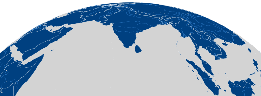
Orthographic Map Creator
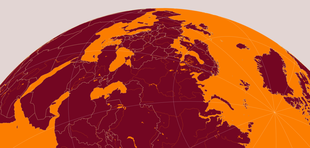
Orthographic Map Creator with MetBrewer Templates
Outline Maps
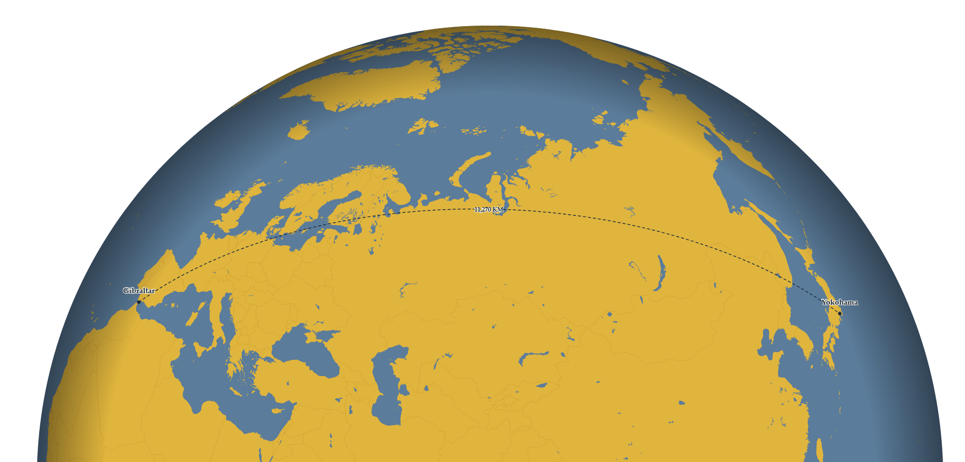
These links will take you to a simple online tools for creating maps like those below. The tools are designed to be an easy way to create a basic base map for your projects, without GIS software, especially if you want to try out oblique perspectives of the Orthographic Projection. Play with colors, rotation, scale, and framing, then export the whole globe or just the visible window to an image file that you can adapt or annotate. The second link uses some of the MetBrewer templates to give you immediate access to some beautiful color palettes that draw on the work of great artists and are also colorblind-compliant. The “Outline Maps” tool will make basic outline maps for standard page/slide sizes that you can print or include in a presentation (enter a location of interest from which to generate an Azimuthal Equidistant Projection). The “Great Circle Routes” app will show the direct flight path and distance between two cities, with a wide variety of color palettes, including one homage to Richard Edes Harrison.